An uptick in drones has made monitoring air traffic crucial. But how can we track what we can’t even detect?
By Reshmi Thampy
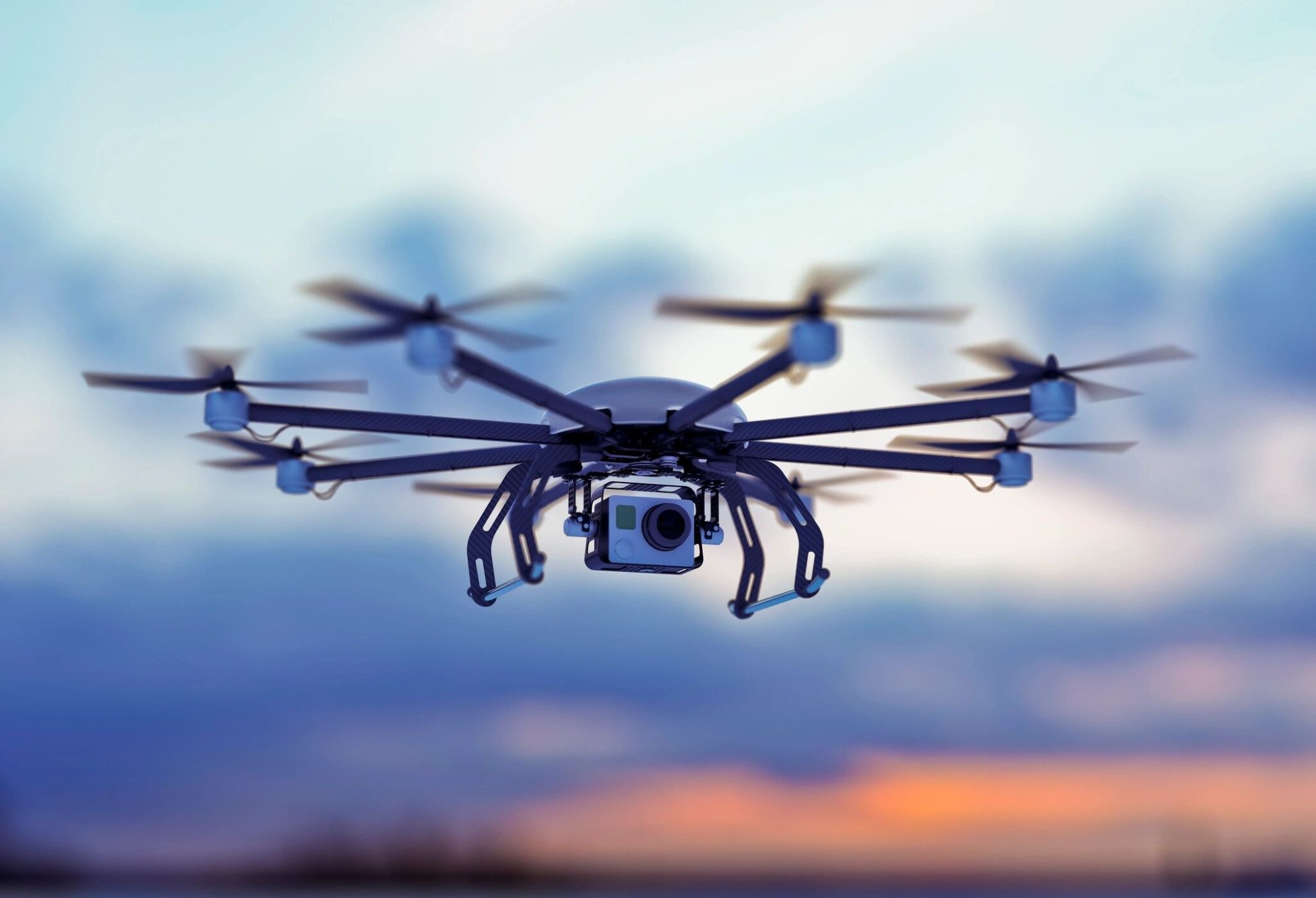
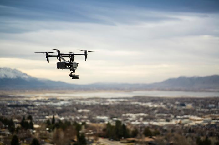
A 30-minute lockdown, multiple delays, and three diverted airplanes—these were some of the measures Riga International Airport had to take on January 13, 2025, because of unexpected aerial vehicles or drones entering its airspace. With over one million drones registered with the Federal Aviation Administration (FAA), and the number expected to grow, the need for regulating drones cannot be stressed more. However, traditional radars—the spinning disks normally seen in airports—cannot detect these drones. Researchers at Brigham Young University (BYU) have come up with a solution.
Flying under the radar
Manned aircraft or airplanes have transponders that broadcast their location information. This information is then verified using airport surveillance radars. However, even if drones start to broadcast their location information, there is no means of verifying the data, because these vehicles fly at low altitudes and cannot be effectively detected by existing radar systems. Traditional radars also have drawbacks such as mechanical failure due to moving parts and long scanning time (a single scan of the sky could take up to 5 minutes—not ideal if there is a tornado heading your way).
RELATED: RoboBee Lands Softly with New Legs
Many eyes in the sky
BYU researchers have devised a solution: a phased array radar system that can scan the sky in less than a second and costs a fraction of traditional radar systems. Additionally, they have no moving mechanical parts that could fail because of bad weather or a hit, disrupting the signal. The researchers worked with a system of three radars, each with a range of up to one kilometer. With multiple radars pointing up at the sky, the risk of false alarms is lowered significantly. It would also improve tracking over long distances.
RELATED: Revolutionizing Bird Watching with Radar
Challenges addressed
Each radar locates a flying object in an airspace using a coordinate system relative to itself. These local coordinates have to be transformed into a global system so that the data from each radar can be merged. This merging will make it so that all radars see an object at the same location in the sky. This calibration process during installation is necessary for the shared sky view.
The algorithm allows data to be accommodated from a new radar or its replacement. These small radars can be mounted on electric poles or cell towers. The local air traffic information system (LATIS) network developed by the researchers could effectively track multiple small aerial vehicles in a three-dimensional space within less than a meter of error.
RELATED: Protecting Marine Mammals with Maritime Tracking
Future of drones
Drones are capable of crossing country borders, smuggling weapons to prisoners, crashing into historic structures, hitting helicopters and aircraft, and trafficking drugs, among other incidents. Improved detection measures are the first steps to be set in place to allow for safer, monitored airspace.
This study was published in the peer-reviewed Journal of Intelligent & Robotic Systems.
Reference
Graff, D., Anderson, B., Buck, D., Peterson, C. K., McLain, T. W., & Warnick, K. F. (2024). Online calibration for networked radar tracking of UAS. Journal of Intelligent & Robotic Systems, 110, 163. https://doi.org/10.1007/s10846-024-02186-0
About the Author
Reshmi Thampy is a postgraduate in structural and construction engineering. She loves all things green and would have been a farmer in a parallel universe. In this one, she is an avid reader and an occasional writer. She loves reading about new advances in science and technology and views the field of science journalism as an exciting one where she can share her curiosity with others.